


T.LEAGUE Official Map

T.LEAGUE
 CORPORATE SITE
CONNECT PLACES, PEOPLE & MOMENTS.

Local discoveries. Emergency readiness.
Connected on one map.
 A NEW DISCOVERY
 MORE THAN A MAP.
01Explore.
02Connect.
03Prepare.
Discoveries, memories, and emergency readiness.
All on one map.
01 /ABOUT DROPTIP
From maps to experiences.Places, people, and experiences,
connected on one platform.
Find places you'd love to visit.
Share the day's experiences with everyone.
Town walks, events, and memories.
Your connection to the town, all on one map.
02 /OUR SOLUTIONS
Your purpose. Your map.Your town, on your map.
Discoveries and memories start here.
Showcase your town on your map.
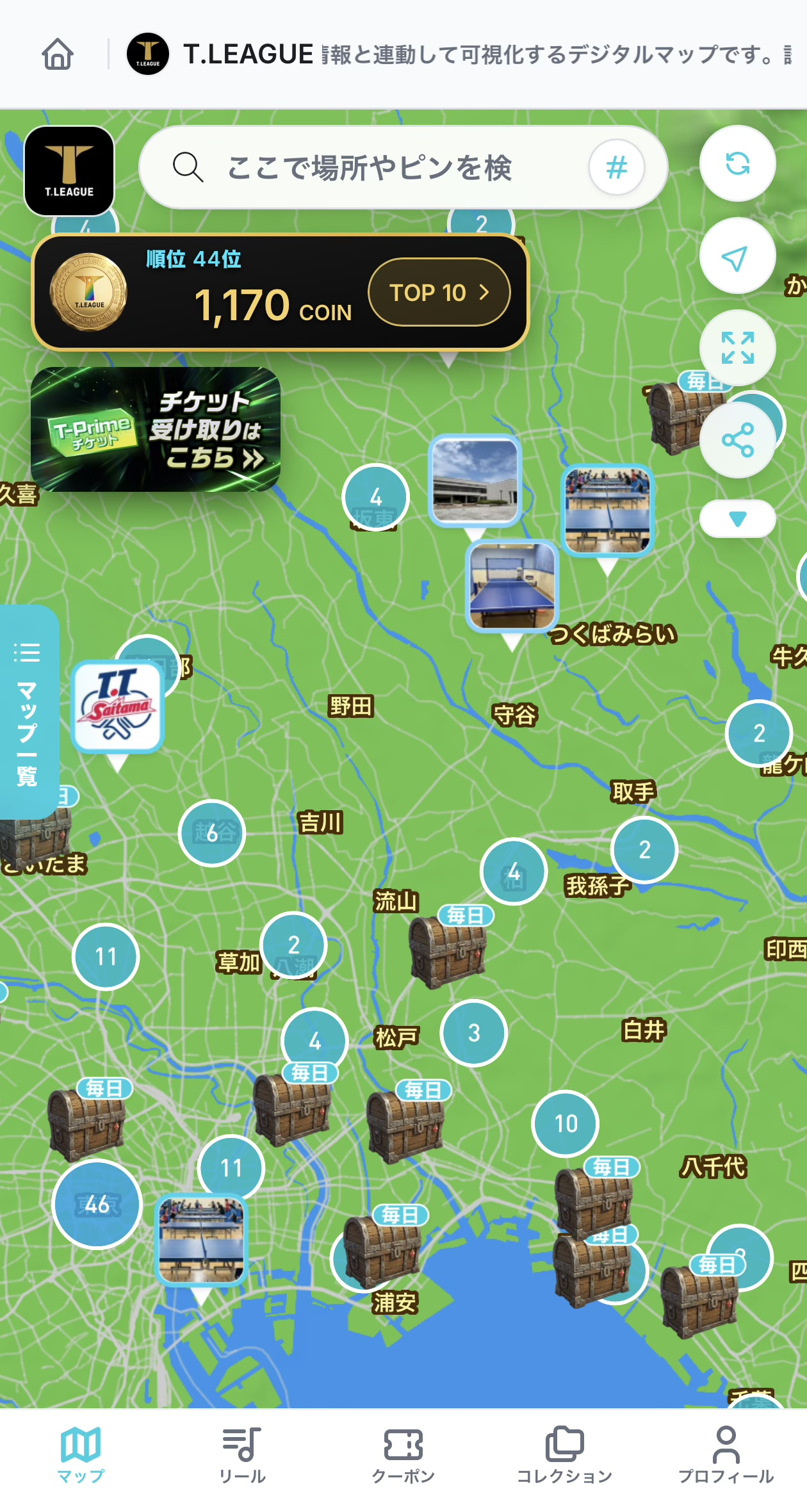 BEFORE. DURING. AND AFTER.
03 /EVENT EXPERIENCE
Before you arrive, while you're here, and after you leave.
One map connecting you to the town.
Dedicated maps, treasure chests, and social media / QR links
Digital checkpoint rallies, vouchers, and booth visits
Ongoing map access, return-visit links, and sponsor visibility
04 /MAPS IN THE REAL WORLD
Created with the community.05 /ENJOY TODAY. PREPARE FOR TOMORROW.
Evacuation information for residents and visitors alike.
Receives evacuation information at Alert Level 4 or above via L-ALERT.
Maps of affected areas automatically switch to disaster mode.
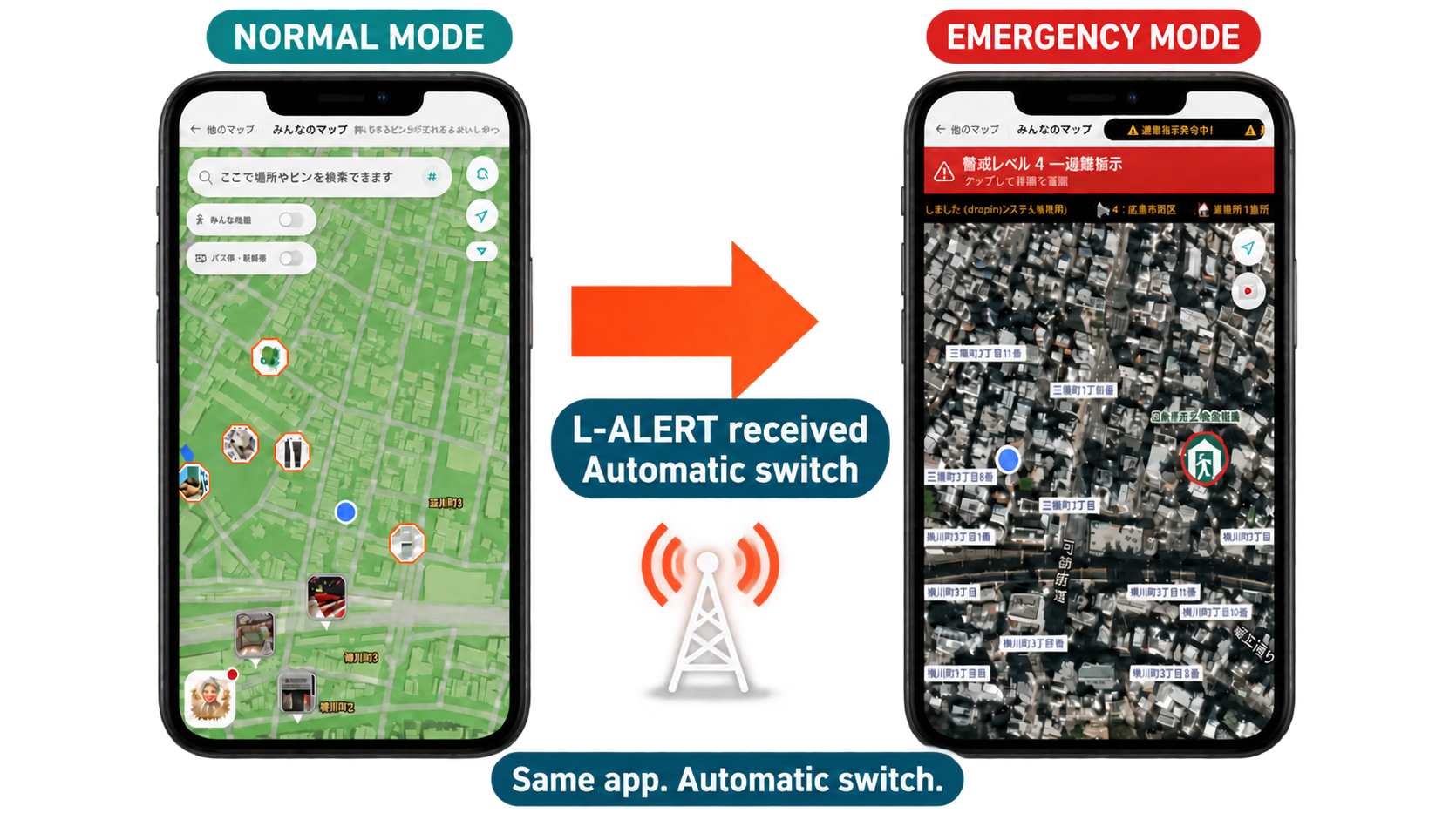
In a disaster, check the latest information from local authorities and the conditions around you.
06 /OUR PARTNERS
Shaping our communities' future, together.Digital transformation in tourism and disaster preparedness, sports, industry–academia collaboration, and tax-free shopping services.
Across sectors, toward our towns' future.

Hiroshima International Airport
Tourism & Disaster Preparedness DX
Hiroshima Home Television
Sports
T.LEAGUE
Sports
Nankatsu SC
Industry–Academia Collaboration & Disaster Research
Hiroshima University
Tax-Free Services
Japan Tax Free
07 /IN THE SPOTLIGHT
In the Media Forbes JAPAN
 BS11 NEXT CompanyAired June 5, 2024
The droptip-powered Tsunatabi Map
was featured on Hiroshima HOME TV.
Local governments, businesses and organizations can create and manage maps for tourism, events and local guides. droptip brings local information and L-ALERT-linked disaster information together on a single map.
You can create maps and update them in the management dashboard, add coupons and treasure chests, collaborate with members, share maps via URLs and QR codes, analyze usage, and use sponsorships and advertising to support map operations. Contact us to discuss the scope of use and implementation requirements.
mLog is a Premium Map that links photos, videos and experiences to locations. Standard Premium Maps are for sharing and managing local information, while mLog is for recording memories and creating maps with members.
The map switches automatically when it receives evacuation information at Alert Level 4 or above for the relevant area via L-ALERT. You can check alert levels, areas subject to evacuation and open evacuation shelters. Information availability depends on reception and connectivity, so also check the latest updates from local authorities.
LET’S MAKE CONNECTIONS
Tourism, events, and community connections.
Turn your ideas into a map.